

Our mission is to deliver precise, reliable, and high-quality surveying solutions using advanced technology and skilled expertise. We strive to support every project with accurate data, timely execution, and complete client satisfaction.
Our vision is to become a leading name in the surveying industry, known for innovation, accuracy, and trust. We aim to continuously adopt modern techniques and expand our services to meet the evolving needs of diverse industries.
We are driven by integrity, professionalism, and a commitment to excellence, ensuring accuracy in every measurement, transparency in our work, timely delivery, and a strong focus on building long-term relationships with our clients.

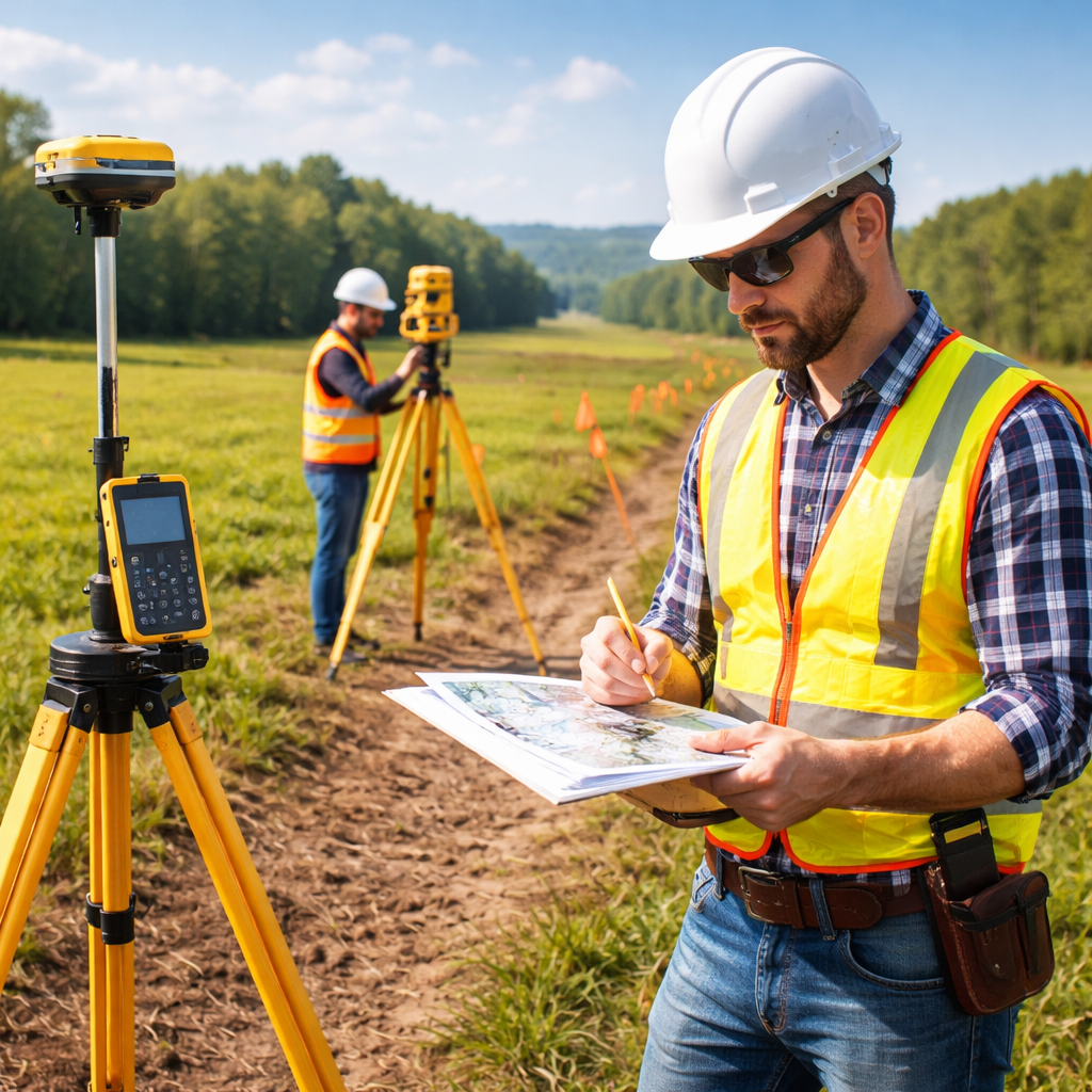
We use modern equipment like Total Station, DGPS, and drone surveying to deliver highly accurate and reliable results for every project.
Our skilled professionals bring extensive knowledge across various surveying fields, ensuring efficient execution and dependable outcomes.
From land and boundary surveys to complex industrial and GIS projects, we offer end-to-end services with a strong focus on timely delivery.
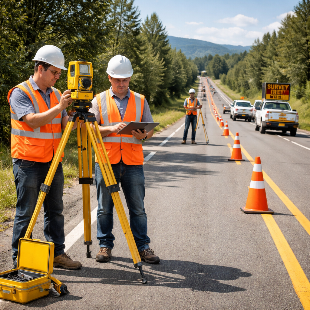

We provide a wide range of services including land surveying, DGPS, total station surveys, boundary surveys, topographic surveys, drone surveys, layout marking, and more.
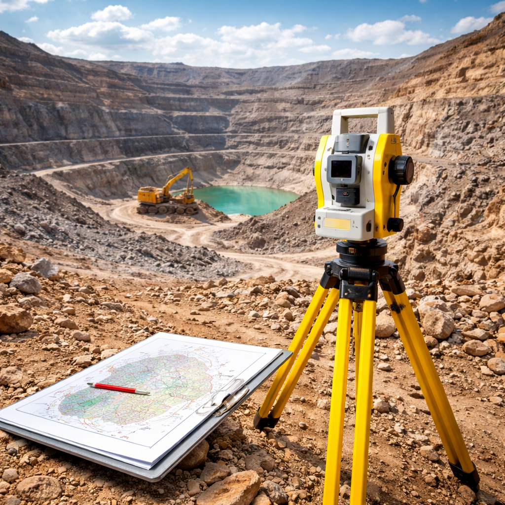
We work with construction, infrastructure, irrigation, industrial, mining, and real estate sectors, delivering accurate survey solutions for every project.
Our surveys are highly accurate as we use advanced equipment like Total Station, DGPS, and modern software to ensure precise measurements and reliable data.
The timeline depends on the size and complexity of the project, but we always aim to deliver results efficiently without compromising on quality.
Yes, we provide detailed survey reports, drawings, maps, and markings to help you proceed smoothly with your project.