


Shashikiran Surveyors is a trusted name in delivering accurate and reliable land surveying solutions for a wide range of projects. With 18 years of experience in the surveying field, we are committed to precision, professionalism, and quality service. We provide expert services including land surveying, total station surveying, DGPS surveying, road surveying, boundary surveying, and advanced drone surveys. Our team leverages modern technology and industry expertise to ensure every project is executed with the highest level of accuracy, helping clients make informed decisions with confidence. From layout survey and markings to building and column marking, we cater to diverse sectors including construction, infrastructure, irrigation, and industrial development. Our comprehensive services also include topographic and contour surveys, GIS and GPS surveying, canal and tank surveys, land plotting, mining surveys, and digital land surveying. At Shashikiran Surveyors, we are dedicated to delivering timely, cost-effective, and dependable surveying solutions tailored to meet the unique requirements of every client.


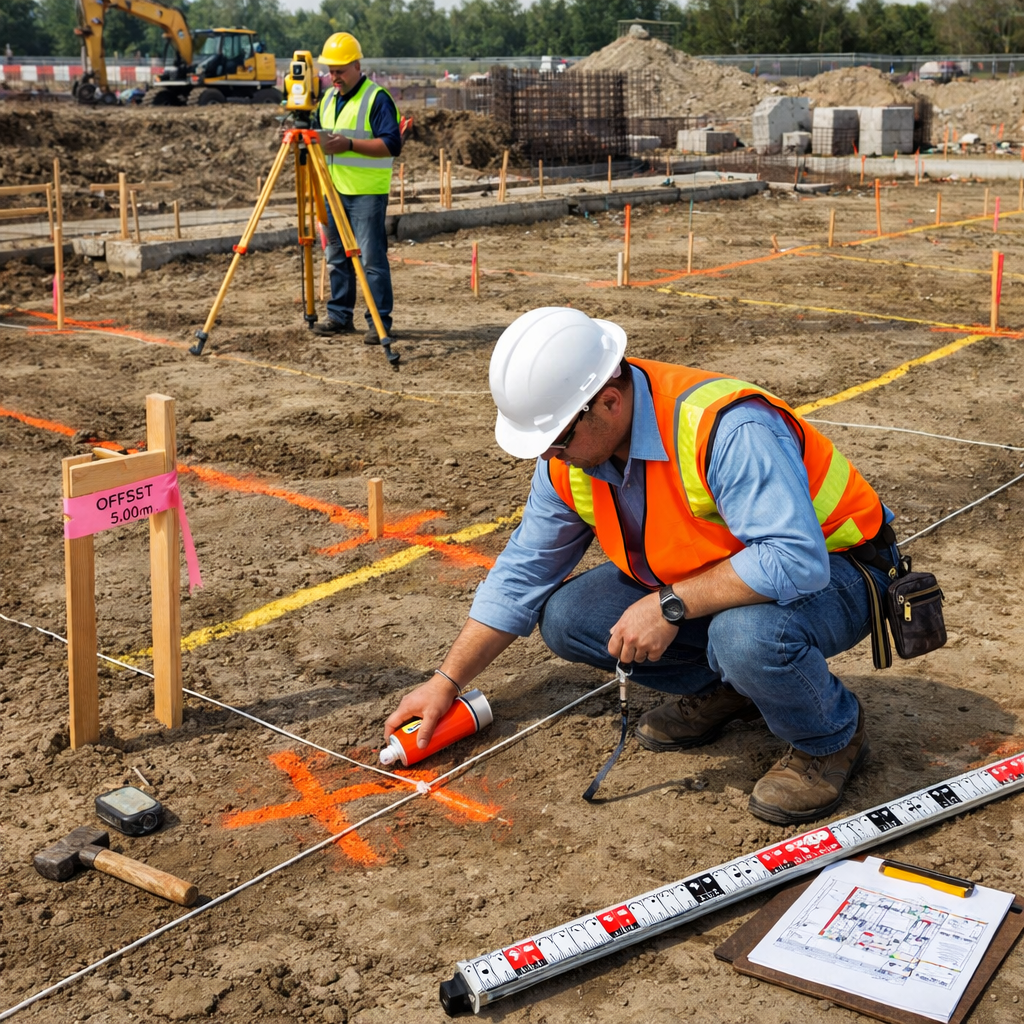
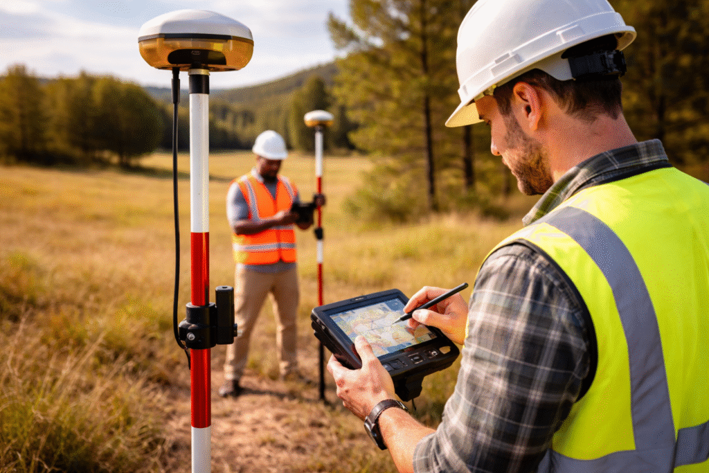
We use modern equipment like Total Station, DGPS, and drone surveying to deliver highly accurate and reliable results for every project.

Our skilled professionals bring extensive knowledge across various surveying fields, ensuring efficient execution and dependable outcomes.

From land and boundary surveys to complex industrial and GIS projects, we offer end-to-end services with a strong focus on timely delivery.
We understand your project needs, site conditions, and survey objectives to plan the most effective approach.
Our team visits the location and uses advanced tools like Total Station, DGPS, and drones to gather accurate field data.
Collected data is carefully processed using modern software to generate precise maps, layouts, and survey reports.
We provide detailed survey reports, drawings, and markings, along with ongoing support to ensure smooth project execution.


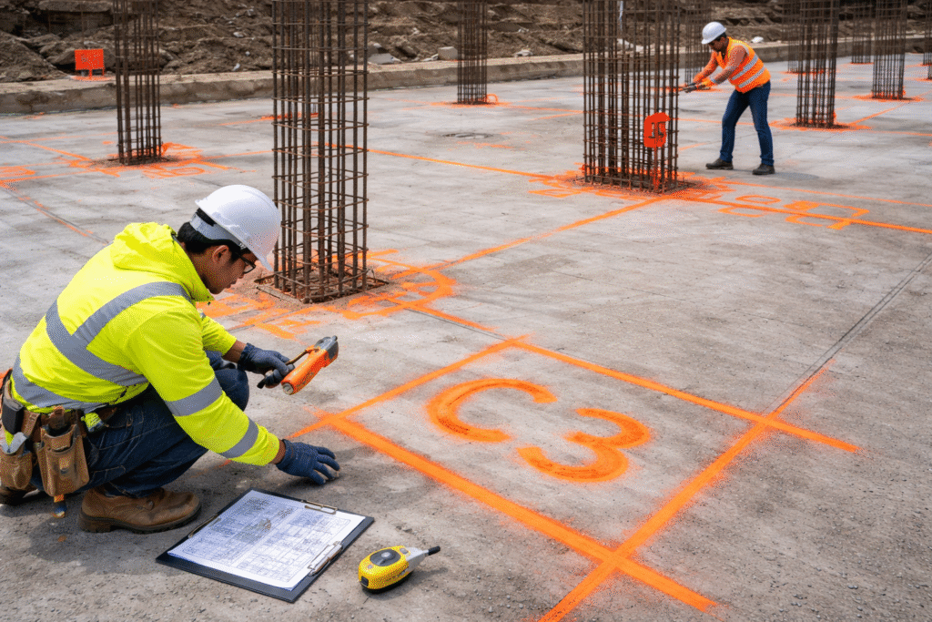
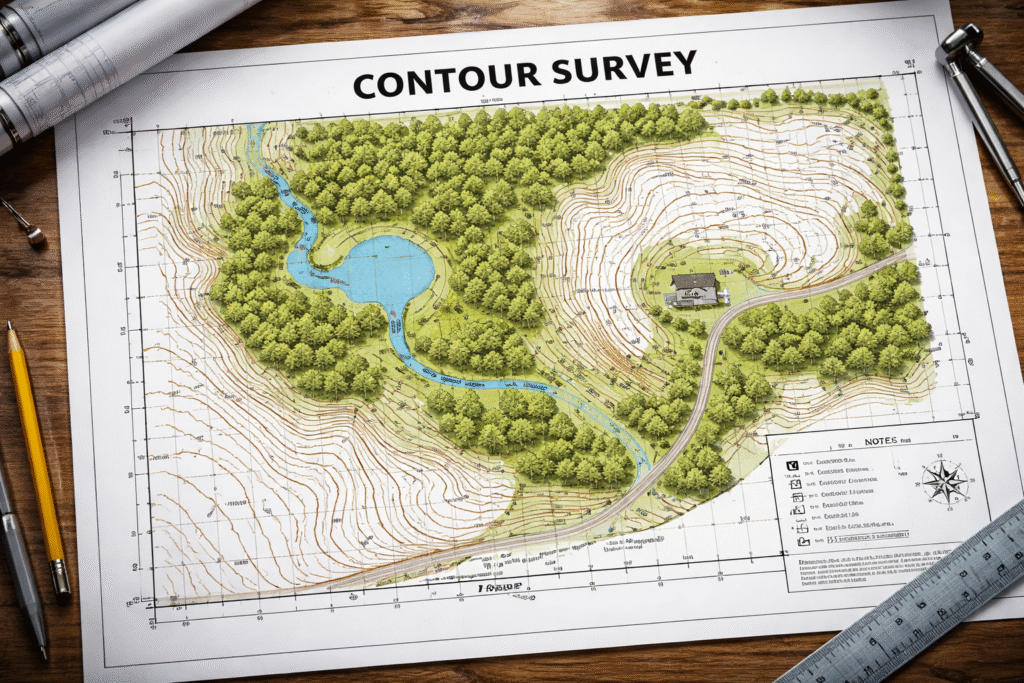
We provide a wide range of services including land surveying, DGPS, total station surveys, boundary surveys, topographic surveys, drone surveys, layout marking, and more.
We work with construction, infrastructure, irrigation, industrial, mining, and real estate sectors, delivering accurate survey solutions for every project.
Our surveys are highly accurate as we use advanced equipment like Total Station, DGPS, and modern software to ensure precise measurements and reliable data.
The timeline depends on the size and complexity of the project, but we always aim to deliver results efficiently without compromising on quality.
Yes, we provide detailed survey reports, drawings, maps, and markings to help you proceed smoothly with your project.