At Shashikiran Surveyors, we offer advanced drone surveying services that deliver fast, accurate, and highly detailed data for a wide range of projects. Using modern UAV (Unmanned Aerial Vehicle) technology, we capture high-resolution aerial images and geospatial data, making it easier to analyze large areas with precision and efficiency. Our drone surveys reduce manual effort, save time, and provide reliable results even in challenging terrains. Our drone surveying solutions are ideal for construction sites, land development, mining areas, road projects, and infrastructure planning. We provide detailed outputs such as orthomosaic maps, 3D models, contour maps, and topographic data that support better planning and decision-making. With a focus on accuracy, speed, and cost-effectiveness, Shashikiran Surveyors ensures high-quality drone survey services tailored to your project requirements.


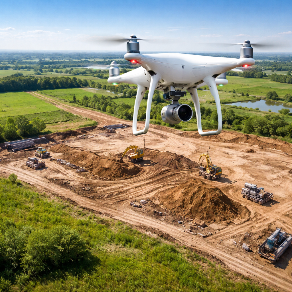
We use advanced drone technology to deliver accurate aerial data and detailed measurements for reliable project planning.

Drone surveys cover large areas quickly, significantly reducing time compared to traditional surveying methods.

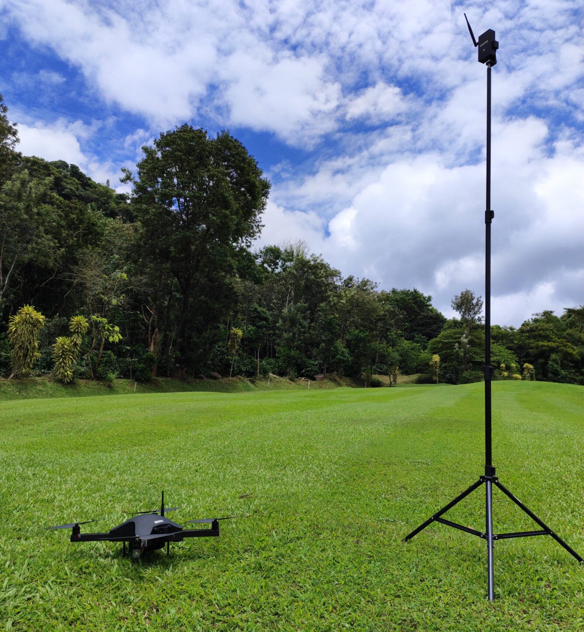
Easily survey hard-to-reach, hazardous, or uneven locations without risking manpower or delays.

Get high-resolution images, orthomosaic maps, and 3D visualizations for better analysis and decision-making.

Reduce labor, time, and operational costs while maintaining high-quality survey results.

Track construction progress and site changes efficiently with real-time aerial insights.
